Projects
Unlocking The Arbian Nubian Shield
Federal Republic of Ethiopia
Overview
- Headquarters of the African Union
- Total population ~100M
- One of the fastest-growing economies in East Africa
Significant opportunity in an underexplored jurisdiction
- Mining is Opening Up Gold is Ethiopia’s main mineral export, and facilitated by the Grand Transformation Program (US $75M from world bank)
- The government plans to increase mineral exports to 10% of GDP
- Infrastructure – US$71B investment in new transportation and energy infrastructure in the region
- Unexplored potential; significant mineral endowment of the Arabian Nubian Shield 11km from existing & permitted Baker Mill
.

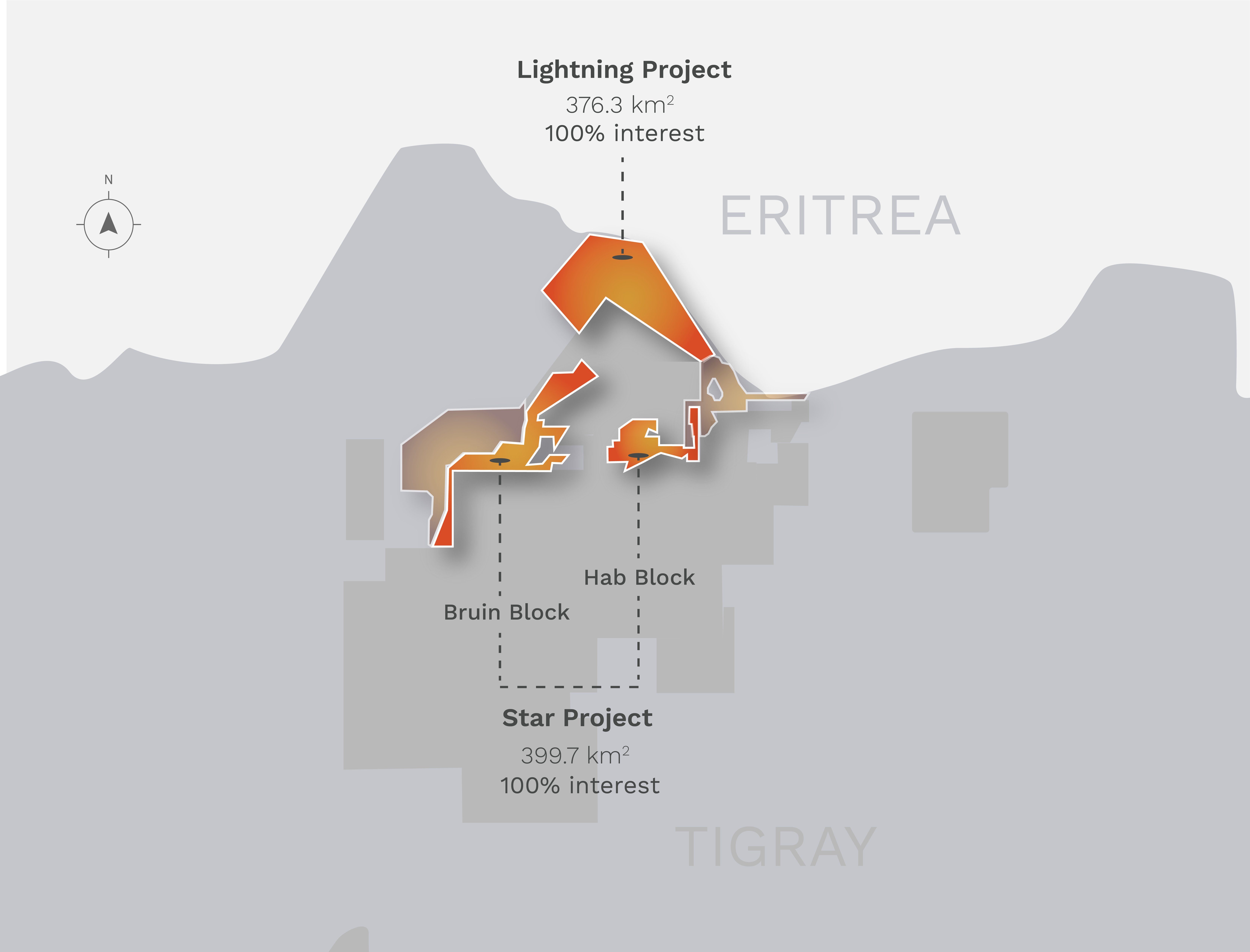
Lightning Project
The Lightning Project is an early stage gold and base metal exploration opportunity surrounded by multiple significant peer companies.
Parallel’s objective is to study and evaluate the Gold and Base metal mineralization potential for the project area by employing advanced exploration methods in order to rapidly target, explore, evaluate, development and production of gold and base metal mineralization in the project area.
The Lightning Project is situated within the North Western zones of Tigray Province in Northern Ethiopia, approximately 280km due North West of Mekelle which is situated 780 km north of Addis Ababa.
The nearest town to the license is Shire Enda silassie. There is a daily flight from Addis to Shire and to Axum with Ethiopian Airlines.
The Tigray Region is the most northern in Ethiopia, bordering Eritrea. It is part of the low grade meta-volcano- sedimentary Neoproterozoic basement of the Nafka Terrane of the Arabian Nubian Shield (Alene et al., 2006). It was formed during the closure of the Mozambique Ocean and the accretion of several volcanic arcs (900- 500MA), and the intrusion of syn and post- tectonic granitoids at 800, 750 and 500 Ma (Tadesse et al, 2000). The main rock types of Tigray can be broadly divided into four units (Tadesse et al. 2003):
- Precambrian basement complex with post tectonic granitoid intrusions
- Late Palaeozoic to Early Mesozoic marine and terrestrial sediments
- Cenozoic basic and felsic volcanics and volcaniclastics
- Volcano- sedimentary and volcaniclastic units associated with 3) including sedimentation throughout the Tertiary and Quaternary
Star Project
The Star Project is exploration-ready and contains deposits discovered by previous operator.
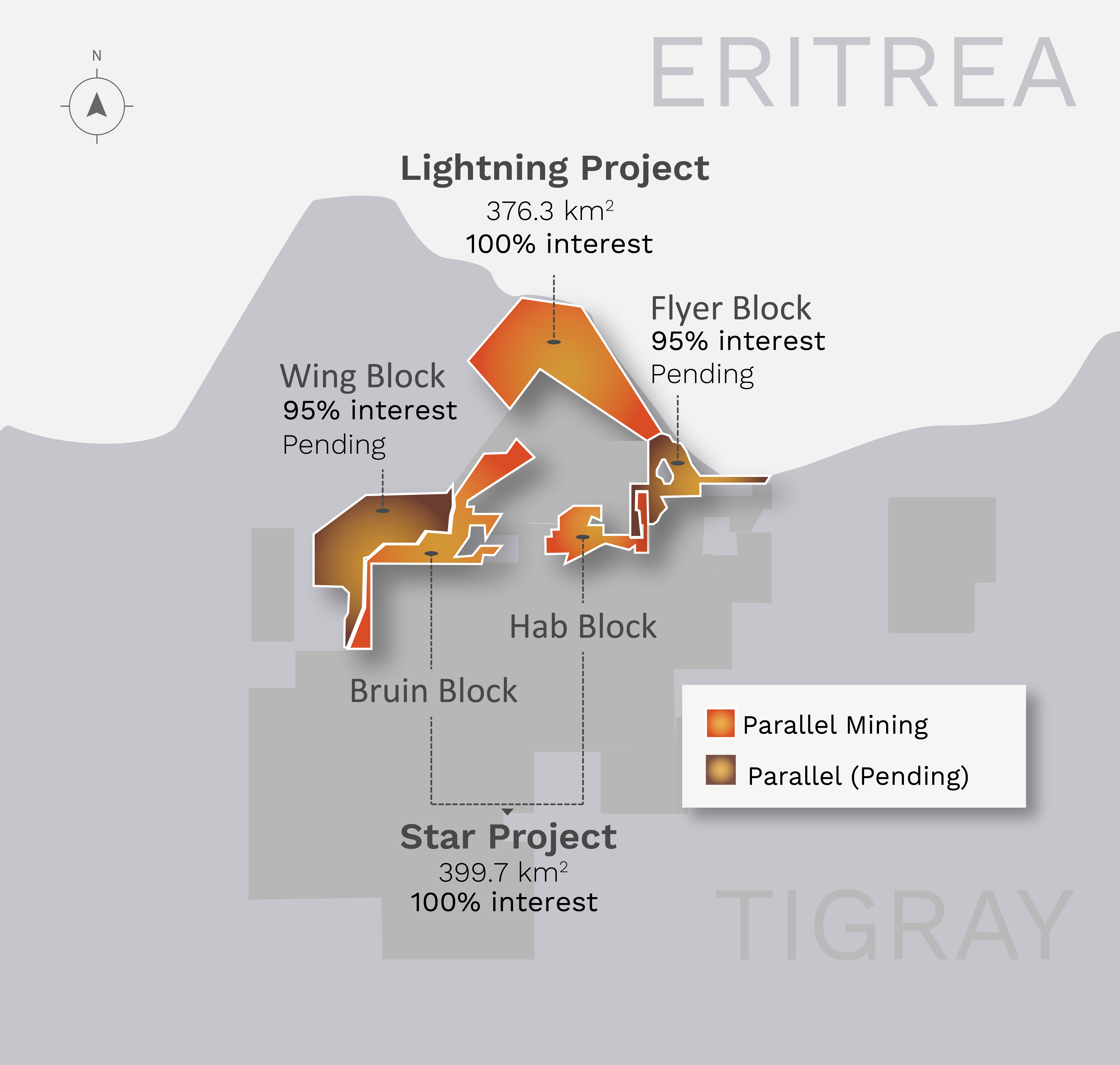
The Star project is comprised of two adjacent Exploration Blocks (Bruin & Hab) that cover an area of 399.73 km2 located in Tigray Region of the Federal Democratic Republic of Ethiopia.
The property is approximately 600 km AD (Air Distance ) north-northeast of the capital city of Addis Ababa. The Federal Democratic Republic of Ethiopia comprises a total area of 1,104,300 km2 and is located between longitudes 33°E to 48°E and latitudes 3°N to 15°N. The country is bounded by Eritrea to the north, Djibouti and Somalia to the east, Somalia and Kenya to the south, with North Sudan and South Sudan to the west.
NE-trending structures, hidden beneath alluvium within the Powerline project area, are suggested by magnetic and gravity data and supported by soil geochemical data.
The Powerline area contains two strong geobotanical anomalies that are indicative of late Tertiary mineral-bearing hydrothermal systems.
Drilling is fully permitted, bonded, and first-pass drilling targets are defined.


Pending Transactions
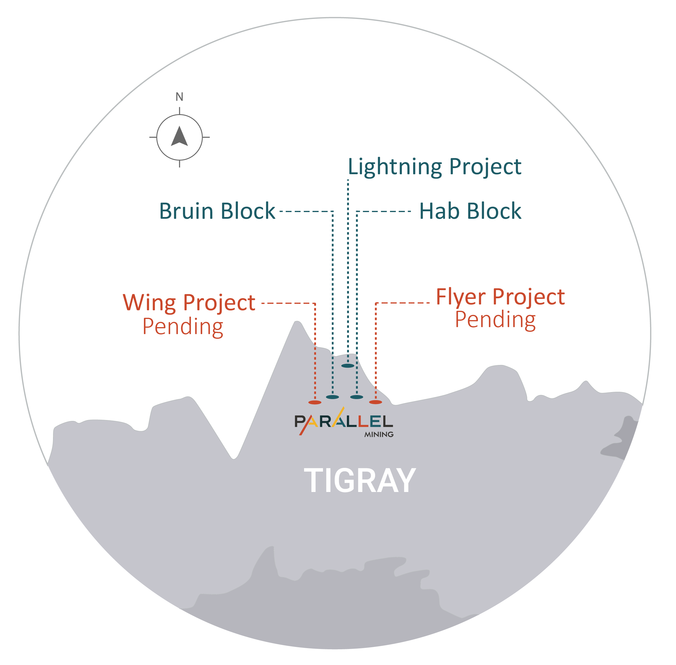
The North Terer and Ziban Gedena property licenses (Wing & Flyer Blocks) are located in Tigray Province in Northern Ethiopia. The property is located approximately 350 kilometres North West of the administrative centre of Mek’ele, which is 780 kilometres from the country capital, Addis Ababa.
The North Terer and Ziban Gedena property licenses is comprised of two (2) distinct exploration blocks (Wing & Flyer) under one (1) single exploration permit.
The North Terer and Ziban Gedena property licenses (Wing & Flyer Blocks) are dominated by meta-volcanic greenstone rocks of the Adi Hageray and Adi Nebrid blocks, Neoproterozoic rocks of the Arabian-Nubian Shield which covers parts of Yemen, Saudi Arabia, Jordon, Israel, Egypt, Sudan, Eritrea, Kenya, and Ethiopia.
The permit area is underlain by the same units of volcanic and volcano-sedimentary rocks as the Asmara VMS district, located approximately 100km to the northeast.
Mineralization is expected to occur alongside silicification, chloritization, epidotization and oxidation. Extensive gossanous outcrops are very often indicators of mineralization in the district, due to the potential VMS setting.
The North Terer and Ziban Gedena property licenses provides the setting for classic structurally controlled, orogenic gold deposits and polymetallic volcanic massive sulphide deposits. Host rocks are highly variable for orogenic gold as mineralization is structurally controlled and include volcanic rocks, sedimentary rocks, and granites. VMS deposits tend to form in clusters and the discovery of both the Asmara deposit and the Harvest property indicates that further VMS occurrences should be encountered on the belt.
The North Terer and Ziban Gedena property licenses represents an early stage exploration program. Little work has been completed to date on the licence, but a considerable amount of work has been completed on adjacent licences, all of which show strong potential for both polymetallic VMS and orogenic gold mineralisation.
The permits are in close proximity to areas of mineralisation being explored by other companies and the prospectivity of the areas is good. It is recommended that a staged exploration approach is conducted when the tenements are granted, results of the first year of work should be assessed and if positive further exploration into years two and three should be recommended.
A 3-year recommended work program includes further desktop study, wide spaces soil sampling, geological mapping, and interpretation of these results at an expected cost of USD$3,080,000. There are planned annual reviews after years one and two in order to ensure the positive course of action and modification to any plans due to the nature of results received.


